Cadastral surveying is one of the most important parts of geodetic services, the purpose of which is to determine the exact geographical boundaries and area of real estate (a plot of land or a building). This is a legally significant documentation process that is necessary for the correct registration of the property in the public registry.
As a result of cadastral surveying work, a cadastral planning/surveying drawing is prepared. This is an official document that:
A cadastral plan is a necessary condition for real estate registration and must strictly comply with the rules and standards set forth by the Government of Georgia in order to be accepted by the National Agency of Public Registry.
Surveying is required for many operations, including:
Real estate registration: for the initial registration of ownership of a land plot or for making changes to registered data.
Purchase and sale/re-registration: to confirm the legal accuracy of the property during a transaction.
Division-merger: to prepare a schematic plan for dividing a plot or combining several plots into one.
Staking (determining boundaries): to accurately mark the boundaries of a land plot (determining angles) in real space, for example, before installing a fence or starting construction.
Construction and design: to prepare topographic drawings.
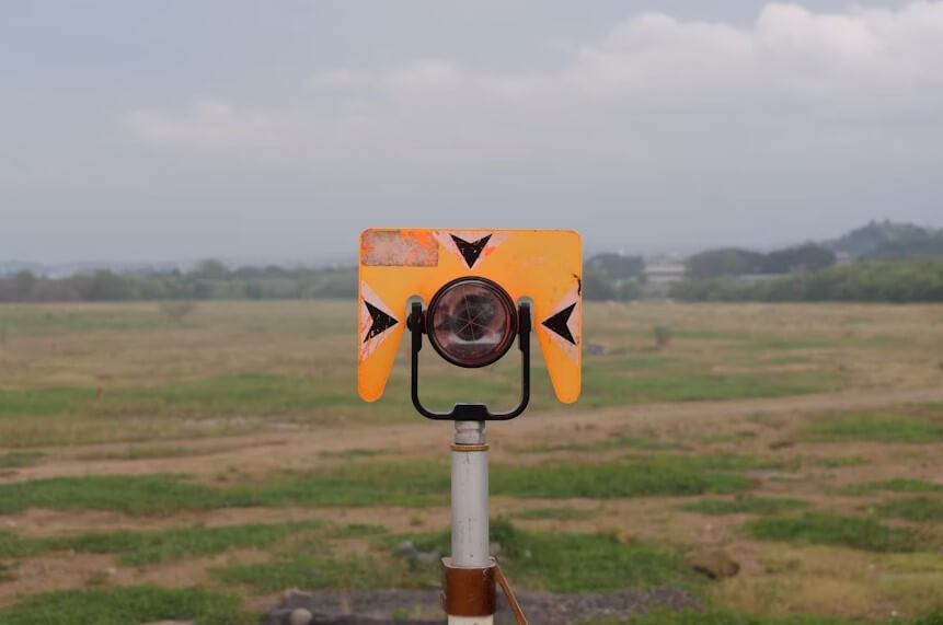
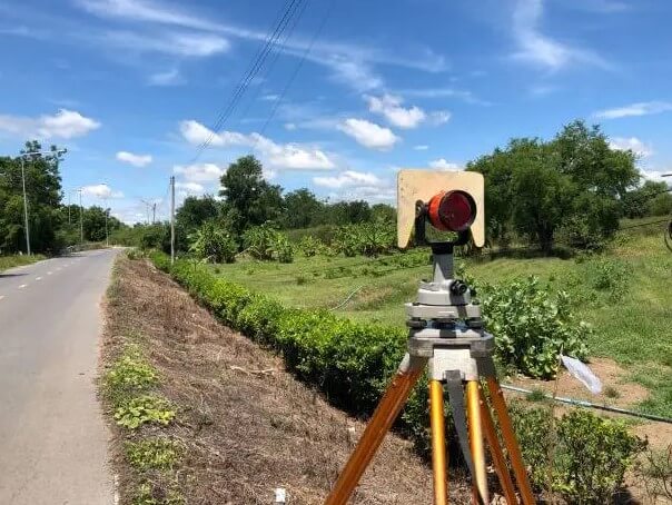
Our certified surveyors, using high-precision GPS and laser equipment, ensure that any cadastral drawing you submit is correct, accurate, and fully compliant with all requirements of Georgian legislation.
We offer:
Trust begins with accuracy. Choose professionalism that will make your property legally secure.
Internal measurement drawings
Cadastral surveying works
Plot of land
Topography
Architecture
Separation/Joining
Copyright © 2025