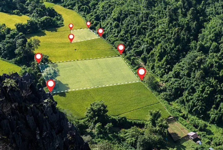
Marking is one of the most important engineering and geodetic procedures that ensures the accurate determination of the boundaries of a land plot and their physical marking on the ground. Simply put, it is the process of transferring the exact location of points (coordinates) on a drawing or project to the real territory.
Marking involves accurately marking the corners (points) of a registered or projected plot using special, high-precision satellite GPS devices and geodetic equipment.
The main goal of this process is to:
Landscaping is necessary in various situations to avoid disputes and ensure the accuracy of the project:
Before buying or selling: Establishing boundaries before purchasing a plot of land guarantees that you know exactly what size and shape of the property you are buying.
Before construction: Before placing a building or other structure, it is necessary to accurately transfer the contours of the plot and the project points to the ground (for example, laying the foundation axes) so that the boundary is not crossed.
In case of boundary disputes: In the event of a boundary dispute or uncertainty with neighbors, landscaping is a means of officially establishing the boundaries of the property.
When dividing or merging a plot: Establishing accurate boundaries is fundamental in the process of dividing a plot of land or merging several plots into one.
The surveying work is carried out by certified surveyors. The process includes:
Documentation study: detailed analysis of the cadastral data of the plot and drawings or construction project.
Field trip and data collection: Using modern, accurate measuring devices (GPS, total station), the registered coordinates of the plot are determined in their actual location.
Marking points: Temporary or permanent markers (poles, points) are fixed at the corners of the established boundary, which visually shows the actual boundary of your plot.
As a result of the deed, you know exactly where your property begins and ends. This is the basis for protecting your property rights and successfully conducting any construction or legal process.
Internal measurement drawings
Cadastral surveying works
Plot of land
Topography
Architecture
Separation/Joining
Copyright © 2025