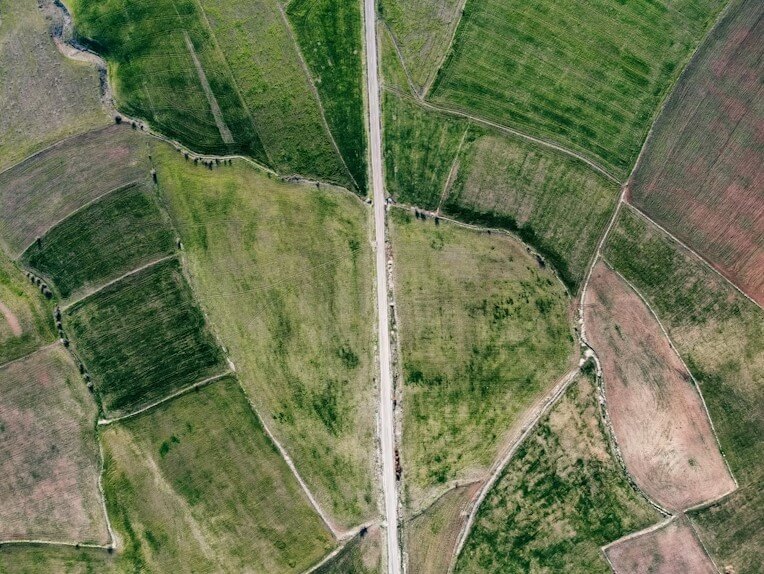
Separation and unification are cadastral-legal procedures aimed at officially changing the configuration, boundaries, and cadastral data of a land plot. These processes are regulated by Georgian legislation and are necessary to create a legal basis for the management and disposal of real estate.


Partitioning is the division of an existing land plot registered under a single cadastral code into two or more independent plots. Each new plot receives its own new cadastral code and becomes an independent legal entity.
Inheritance and co-ownership: When owners want to physically and legally divide a piece of land that is owned jointly.
Sale of part of the land: If the owner sells or donates only part of the existing plot, it is necessary to separate this part into independent plots.
Development project: The division of large land plots into construction/garden plots.
Preparation of a surveying drawing: A certified surveyor prepares a schematic plan of the division and measures the exact boundaries of the new plots.
Preparation of documentation: A written agreement (or statement) on the division is drawn up, which is signed by all owners (co-owners).
Registration: The prepared documentation is submitted to the National Agency of Public Registry for registration. After registration, each new plot receives an individual extract and cadastral code.
Unification is the process of merging two or more adjacent, independent land plots into one, unified plot. As a result of unification, the old cadastral codes are canceled and the plot is assigned a single new cadastral code.
Construction: When a large facility is planned to be built that covers two or more adjacent plots (for example, a factory, a shopping mall, a large residential building).
Simplification of management: The owner wants to manage several adjacent plots with a single documentation and a single code.
Land use optimization: Consolidation of fragmented areas for unified planning.
Preparation of a surveying drawing: A surveyor prepares a schematic plan of the unification, which depicts the unified plot with the new contour.
Preparation of documentation: The owners sign a statement/agreement on the unification.
Registration: Documents are submitted to the public registry, which carries out the unification of the plots and issues a new extract on the unified plot.
Both processes – division and consolidation – require high accuracy, as the area and boundaries of the plot must exactly correspond to the coordinates obtained by geodetic measurement. Therefore, it is crucial to use the services of a certified, highly qualified surveyor.
Result: Successful completion of these procedures will ensure the legal soundness of your land plot and prevent possible property disputes in the future.
Internal measurement drawings
Cadastral surveying works
Plot of land
Topography
Architecture
Separation/Joining
Copyright © 2025